I'm going to close out the Mobile LiDAR user survey next week - August 8th. We have already received some great responses. Please take a few minutes to supply feedback. If something isn't covered in the survey, please post a comment or use the Contact Us page.
Cheers!
Stephen
Tuesday, July 30, 2013
Mobile LiDAR Survey Reminder
Thursday, July 18, 2013
Mobile LiDAR User Survey
Last week at the Esri International User Conference, I spoke to a lot of people about Mobile LiDAR. There were a broad range of questions presented across disciplines. From those questions, I have developed a list of future postings.
However, as I develop those posts, I have composed a brief survey in an attempt to tailor postings to topics of interest. If you have a couple minutes, please provide feedback on important factors for your utilization of Mobile LiDAR.
Cheers!
Stephen
Create your free online surveys with SurveyMonkey , the world's leading questionnaire tool.
However, as I develop those posts, I have composed a brief survey in an attempt to tailor postings to topics of interest. If you have a couple minutes, please provide feedback on important factors for your utilization of Mobile LiDAR.
Cheers!
Stephen
Wednesday, July 3, 2013
Baker @ Esri UC
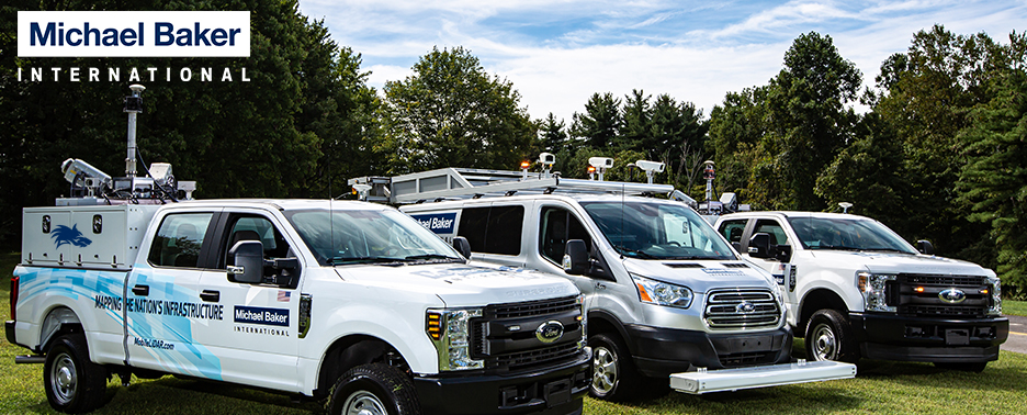
Baker will be exhibiting at next week's Esri International User Conference in San Diego. Baker staff will be on-site to discuss the many services our Geospatial Information Technologies Practice Area provides, including Mobile LiDAR.
In addition to the exhibit, Scott Howell will be presenting during a moderated session on GIS for Stormwater Management. The session is on Wednesday, July 10th at 8:30 AM in Room 30B. The details are as follows:
In addition to the exhibit, Scott Howell will be presenting during a moderated session on GIS for Stormwater Management. The session is on Wednesday, July 10th at 8:30 AM in Room 30B. The details are as follows:
Using Mobile LiDAR to Develop a Municipal Enterprise GIS
Scott Howell, Michael Baker Jr., Inc.
Scott Howell, Michael Baker Jr., Inc.
Using Mobile Light Detection and Ranging (LiDAR) technology, the City of Charleston, WV performed a complete scan of the roadway network for the state capital, developing a 3D model of the entire City in the process. The City of Charleston is undertaking an aggressive Long Term Storm Water Comprehensive Plan that required a data collection of storm water inlets and manholes. The City decided that the most cost effective method to acquire these features was through the use of a ground-based Mobile LiDAR system. By including a full sign inventory for their traffic engineering division, the return on investment of the entire project was significantly increased. In the future, the City has the ability to continue developing their GIS based on the information contained in the point cloud. Finally, a “snapshot” in time has been created that the City will be able to use as a reference in the future.
If you are a reader of the blog and will be attending, please stop by booth #2518. I will be there most times, excluding an occasional absence to get fish tacos at the Tin Fish.
I hope to see you in San Diego next week.
Cheers!
Stephen
I hope to see you in San Diego next week.
Cheers!
Stephen
Subscribe to:
Posts (Atom)