 |
| The Mobile LiDAR vehicle trajectories (shown in red) are displayed with the 1979 Easter Flood boundary (in blue). |
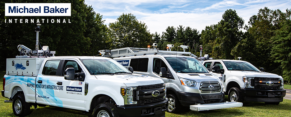
My latest article, Mobile LiDAR and Flood Impact Studies, details work we performed in the Jackson, MS metropolitan area to extract approximately 12,000 first floor elevations and other data to support the work of several partner organizations and stakeholders. The project, completed over a period of approximately four months, required collection of over 700 miles of Mobile LiDAR data, survey ground control and aerial LiDAR validation.
 |
| Entire subdivisions are quickly captured with Mobile LiDAR data alleviating the need for entry onto private property to gain information. Outreach was performed via news and print media prior to collections. |
Cheers!
Stephen