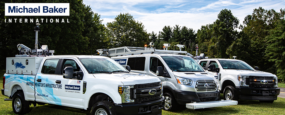
The crew is enjoying a trip to the west coast. This morning was spent at our Carlsbad, CA office of RBF Consulting.
Although we are experiencing more moderate fall weather in central Mississippi, it pales in comparison to southern California. They might never want to come home.
Have a good weekend!
Stephen
Friday, September 27, 2013
Picture of the Week
Thursday, September 5, 2013
High Traffic and Congested Areas
When proposing the use of Mobile LiDAR technology,
oftentimes the discussion revolves around accuracy and cost savings. Why shouldn't it? In lean budget times, both public and private
organizations are looking to get more “bang for their buck” in terms of
project expenditures.
 |
| The corridor along Hampton Boulevard is rich with features. The classified point cloud and extracted 3D features depict the level of detail achieved from a Mobile LiDAR survey. |
Frequently overlooked however, are the benefits that mobile
scanning can provide in terms of efficiency and adherence to schedule in high
traffic and congested areas. Using
Mobile LiDAR versus traditional surveying or terrestrial scanning has an
immeasurable benefit in terms of safety, and a more tangible benefit in productivity.
In Norfolk, VA, Baker performed a Mobile LiDAR survey of heavily traveled Hampton Boulevard, which runs 2-6 lanes from the VDOT Midtown Tunnel to the largest U.S. Naval Base in the world (Norfolk Naval Station). The corridor has landscaped medians, center turn lanes, barrier walls, bridges, and underpasses - including the MagLev track at Old Dominion University - Go Monarchs! In a high traffic environment, Baker staff drove four passes along the 8 mile corridor and finished the entire collection in a day. Notice the detail in vegetation, signage, utilities, and bare earth along the corridor!
Another seemingly obvious way to collect data along
congested areas is by using traffic avoidance.
Baker often performs data collection overnight or on weekends to avoid
traffic congestion in urban downtown areas and along high-speed heavy traffic
interstate corridors.
If you have any questions about heavy traffic data
collections or anything else LiDAR, please don’t hesitate to contact any member of the Baker LiDAR team!
Best,
Scott
Scott Howell is a GIT Project Manager in Baker's Virginia Beach office and an alum of ODU. He has managed several of Baker's Mobile LiDAR projects in the region and continues to develop new opportunities for the team.
Subscribe to:
Posts (Atom)

