Tuesday, October 19, 2010

Revisiting Yazoo

With our busy schedules, and travels across the country, it’s easy to get caught up in the hoopla for the next scanning project, but it’s also important to take a moment and reflect on where we’ve been - or what we've seen and captured. 

With over 56 scanning projects under our belt, which span the country from coast-to-coast, sometimes it takes a visual/audible cue to bring a particular collection back to the forefront of the mind.  Such was the case last week while driving through the plains of Kansas and Nebraska, when I heard a radio advertisement for the new season of the Discovery Channel’s Storm Chasers television series. 

It’s hard to believe, but it’s been almost 6 months since we scanned the aftermath of a devastating EF4 tornado that tore through Yazoo City, MS, on its epic 149 mile path through two states.  Our long-time followers may remember the original blog postings back in May, but in case you want to refresh your memory, or if you’re a new follower, Part 1, Part 2 & Part 3

The LiDAR data, along with the thousands of still images we captured in the aftermath, really tell the story of how destructive a tornado can be; but to really get a feel for the storm as it happened, make sure you tune into Wednesday (October 20th) night's episode (10:00 pm Eastern), or the myriad of re-broadcasts throughout the week, to watch video footage from the chase vehicle's perspective.

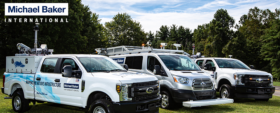
If you’re a fan of the show, you’ll recognize the TVN “Dominator” pictured here behind our system, along with the numerous support/chase vehicles that capture the show's footage.

- Aaron


Thursday, October 14, 2010

On the Water with the Baker Navy


Sometimes, a project requires a different approach than what has been performed in the past.  We were presented with one such project for a bridge in West Virginia.  Capturing the structure underneath presented a challenge that could not be accomplished using traditional means - total station or static scanning. Therefore, we utilized a barge to move our system around underneath the structure.


Having not been on-site, but in contact with the crew throughout the day, I had no idea the barge was so large.  It was in service on the project already and we merely had to drive the Suburban up onto it - no need to dismantle the system and perform additional system calibration.  I was quite surprised to see the size when I received the pictures.


Our crew could take it easy during the collection.  The barge operator performed a ballet of maneuvers beneath the bridge and around the pilings to inundate the support structure.  If you recall from our Measuring Systems posting, there should be a DMI cable running down the side of the truck.


Since we obviously weren't going to be driving around on the barge, there was no need for the DMI, so we utilized an alternate collection methodology to account for the barge's movement, as opposed to wheel revolutions.  This also meant that we could maximize our time onsite, by stationing one crew member with the system, while the other used the Trimble S6 total-station that we carry on the vehicle to measure identifiable targets on the bridge to adjust the point clouds together.


Following the collection on the barge, the crew attached the DMI and collected the topside of the bridge.  The entire collection, including control, was completed in a single day.  I can't wait to see the results, which I will be blogging about soon enough. 


Friday, October 1, 2010

Modeling Bridges from Mobile LiDAR Information

I often tell people that the products derived from Mobile LiDAR data are only limited by one's imagination and willingness to push the envelope. On that premise, we recently performed work on an interstate including overpasses and ramps.  In addition to the typical MicroStation planimetrics and DTM, Baker's Applied Technology (AT) group was enlisted to prepare models of collected bridges. While looking at the progression of the modeling, keep in mind that the information was collected at posted speed limits.

Below is a simple slice of the Mobile LIDAR point cloud representing the North/South bound lanes of travel. I quickly added height clearances which I used to calculate an approximate slope. At each of the bridges, we created subsets of the point cloud to minimize processing during the modeling phase.


From the subset point cloud, our AT staff began modeling the environment.  Presented below is a wire-frame of the modeled solids (modeling involves developing a mathematical representation of 3-dimensional features).  The ground is represented as a Triangulated Irregular Network (TIN).  In a wire-frame, the outlines of the features are depicted with the point cloud still visible.


After the wire-frame, a hidden line model is presented below.  Basically the shapes and surfaces shown in the wire-frame are filled.  The solids depicted have no texture, but the model begins to take shape.


Then a draft of the model is prepared for visual inspection.  The impact of grass in the median is clearly visible.  Since we started without the luxury of a classified point cloud, our AT staff cleaned the surface using MicroStation InRoads (can also be completed in GeoPak).  Obviously starting with a classified LAS containing bare-earth and vegetation points, would have saved a little time for our modelers.


Perhaps the coolest image, in my opinion, is the Ambient Occlusion (AO)image shown below.  The software we utilize provides the ability to create shadows, define sun angles and change perspective depending on time of day.  I also like that it shows an immense amount of detail on the guardrails and other features. 


By adding vehicles to the model, it provides a sense of scale and depth. The vehicles in the AO image are used to determine the shadows they cast on the model as well.


Finally, textures and colors are applied to modeled features.  The shadows cast are incredibly detailed - notice the guardrail and pillars on the right-hand side.  The next step is to add cars, collected roadway signs and other ancillary information - perhaps our team can throw a model of the Mobile LiDAR unit in there rolling down the interstate.


For more information on Baker's Applied Technology and the services they provide, please contact:

Senior Designer
3D Design and Visualization
Michael Baker Jr. Inc.
412-269-2987

Alan and the rest of the group have exceeded our expectations time and time again.  Perhaps down the road I'll share more of their superior work modeling Mobile LiDAR data.